Instrument
Snow Radar
Center for Remote Sensing and Integrated Systems (CReSIS) Ultra-Wideband Snow Radar
The Snow Radar is an airborne ultra-wideband radar system operated by the Center for Remote Sensing and Integrated Systems (CReSIS) at Kansas University. It is a frequency-modulated, continuous-wave (FMCW) system that collects radar echograms to measure snow thickness over sea ice and snow layering over land ice. The Snow Radar operates across 2-18 GHz and can measure snow layers up to 100 meters deep. It has a vertical resolution of 1.5 to 12 centimeters and typically operates at a 4 kHz pulse repetition frequency.
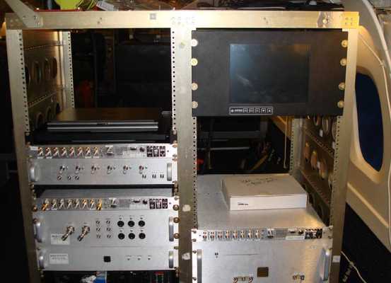

Instrument Details
- Radar
- Earth Science > Atmosphere > Precipitation > Solid Precipitation > SnowEarth Science > Cryosphere > Snow/ice > Ice Depth/thicknessEarth Science > Terrestrial Hydrosphere > Glaciers/ice Sheets > Glacier Topography/ice Sheet TopographyEarth Science > Cryosphere > Glaciers/ice Sheets > Glacier Topography/ice Sheet TopographyEarth Science > Cryosphere > Snow/iceEarth Science > Spectral/engineering > Radar > Radar ImageryEarth Science > Cryosphere > Snow/ice > Snow CoverEarth Science > Climate Indicators > Cryospheric Indicators > Ice Depth/thicknessEarth Science > Terrestrial Hydrosphere > Snow/ice > Snow CoverEarth Science > Terrestrial Hydrosphere > Snow/ice
- Land Surface
- Variable
- 1.5-12 cm
- 2-18 GHz
- Currently unavailable
Currently unavailable
Currently Unavailable
CReSIS
NASA, NSF, State of Kansas
Currently unavailable
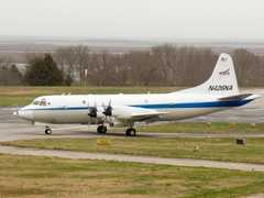 P-3 Orion 30 Campaigns · 153 Instruments |  Operation IceBridge 2009—2021 Greenland, Antarctica, Alaska, Arctic Sea 37 Deployments · 79 Data Products
AMSRIce Advanced Microwave Scanning Radiometer Sea Ice Product Validation 2003—2006 Alaska, Elson Lagoon, Beaufort Sea, Chukchi Sea, Bering Sea, Northern Pacific Ocean 2 Deployments · 0 Data Products
| ||||||||||||||||||||||||||||||||||||||||||||||||||||||||||||||||||||||||||||||||||
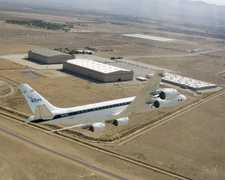 Douglas DC-8 45 Campaigns · 182 Instruments |  Operation IceBridge 2009—2021 Greenland, Antarctica, Alaska, Arctic Sea 37 Deployments · 79 Data Products
| ||||||||||||||||||||||||||||||||||||||||||||||||||||||||||||||||||||||||||||||||||
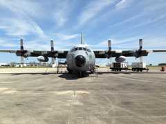 C-130 Hercules 17 Campaigns · 96 Instruments |  Operation IceBridge 2009—2021 Greenland, Antarctica, Alaska, Arctic Sea 37 Deployments · 79 Data Products
| ||||||||||||||||||||||||||||||||||||||||||||||||||||||||||||||||||||||||||||||||||
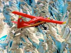 DeHavilland DHC-3 Otter 1 Campaign · 5 Instruments |  Operation IceBridge 2009—2021 Greenland, Antarctica, Alaska, Arctic Sea 37 Deployments · 79 Data Products
| ||||||||||||||||||||||||||||||||||||||||||||||||||||||||||||||||||||||||||||||||||
 Gulfstream-V 8 Campaigns · 38 Instruments |  Operation IceBridge 2009—2021 Greenland, Antarctica, Alaska, Arctic Sea 37 Deployments · 79 Data Products
|
Filter data products from this instrument by specific campaigns, platforms, or formats.